The Simplified Trips-on-Project Software (STOPS) is a streamlined implementation of a 4-step travel model that generates forecasts to support grant applications for the Federal Transit Administration’s (FTA) New Starts and Small Starts programs. STOPS makes sophisticated transit forecasting accessible to agencies of all sizes. Unlike traditional regional travel models that require significant resources and skilled staff to establish and maintain, STOPS is relatively lightweight and user-friendly.
STOPS has received awards for its impact on travel analysis and has been widely adopted by transit agencies for developing accurate transit travel forecasts. It is free to use, and FTA sponsors its development with technical assistance from RSG. Together, the FTA and RSG developed the software and have continued to support its application through project-specific engagements, industry training, and peer review.
As regions seek to make major capital transit investments and manage public funds responsibly, STOPS is an important tool for agencies aiming to support grant applications and project development through data-driven decision-making and ridership forecasting. This article covers the key benefits of STOPS, highlights recent applications of the tool, and delivers insights into its continued support and development.
STOPS Makes Sophisticated Forecasting Available to More Agencies
STOPS uses entirely public and accessible data, simplifying the implementation process. A typical STOPS application takes only two to three weeks for a capable travel-forecasting professional to install and set up. This accessibility allows even smaller agencies with limited staff to effectively develop and iterate on transit forecasts. By “leveling the playing field,” STOPS enables agencies without extensive experience to successfully compete for grant applications, making the planning process more equitable and achievable for a wider range of transit agencies.
In its “synthetic model,” STOPS input data comes primarily from the census and the General Transit Feed Specification (GTFS). It incorporates data from the Census Transportation Planning Products Program (CTPP) Journey-to-Work data and census-block boundary files. FTA assembles these data, which are available for download by STOPS users in all 50 states and the District of Columbia. The GTFS data STOPS uses is the same data Google Maps uses to represent transit services available to the public.
Planners can code project changes to GTFS files and then run the software to determine future ridership for the project as a whole and for each station. This distinguishes STOPS from traditional travel demand models, which require coding services in a specific format different from what service planners use. For STOPS users, the use of publicly available data simplifies the data-gathering and integration process between departments. This approach not only saves time but also ensures that the data are up-to-date and consistent.
In most cases, STOPS can shorten the forecasting-to-application loop, reducing the time required between grant cycles. It achieves this by being easier to maintain than a large model and faster to update. While a larger regional model update cycle can take several years and require millions of dollars in funding, most agencies can maintain STOPS for a small fraction of that cost. Alongside requiring fewer resources, STOPS provides more frequent insights between major updates. It focuses specifically on transit, which is often only a subset of the focus of a larger regional model given the smaller percentage of trips that occur via this mode in any given region.
How STOPS Works
STOPS operates in several modes depending on the available data. Its base “synthetic mode” uses census data to estimate trip patterns and volumes. The more sophisticated “incremental mode” pivots off an existing transit trip table based on a transit origin-destination (OD) survey. This incremental approach offers significant benefits to STOPS users, allowing them to iterate from a known point based on survey data they have collected rather than synthesized estimates of transit travel patterns. STOPS also has hybrid operating modes that can use survey data for specific areas while relying on census data for the rest. In this regard, smaller agencies with relatively limited staff time and resources will find STOPS especially useful. STOPS users can leverage survey data for specific areas like an airport or other special generator while relying on synthetic data for the rest.
STOPS has improved significantly since it was first made available to the public. The first version of STOPS included only a synthetic model based on census data, expanded to observed counts. This initial version of STOPS was effective but did not allow for changes to the trip patterns within the model away from the census data, even if the STOPS user knew better.
As emerging technologies continue to impact how and how often people opt to use transit, STOPS can adapt to the new on-the-ground reality through adjustments to how the model produces its forecasts. For instance, if an area includes bike lockers near a transit stop, people might start to come from 1.5 miles away instead of just 1 mile away. New surveys could help obtain these data, and STOPS could be adjusted accordingly. In another case, if an area implemented a widely used bike-share program using e-bikes, adjustments to STOPS could increase the average access distance to transit stations.
There are other ways the model continues to be adjusted and updated as new data regarding travel behavior become available, including testing ways to reflect microtransit services. The key to STOPS and any model is ensuring the accuracy of the data used, especially regarding how people behave and use these new services.
Real-World Application of STOPS
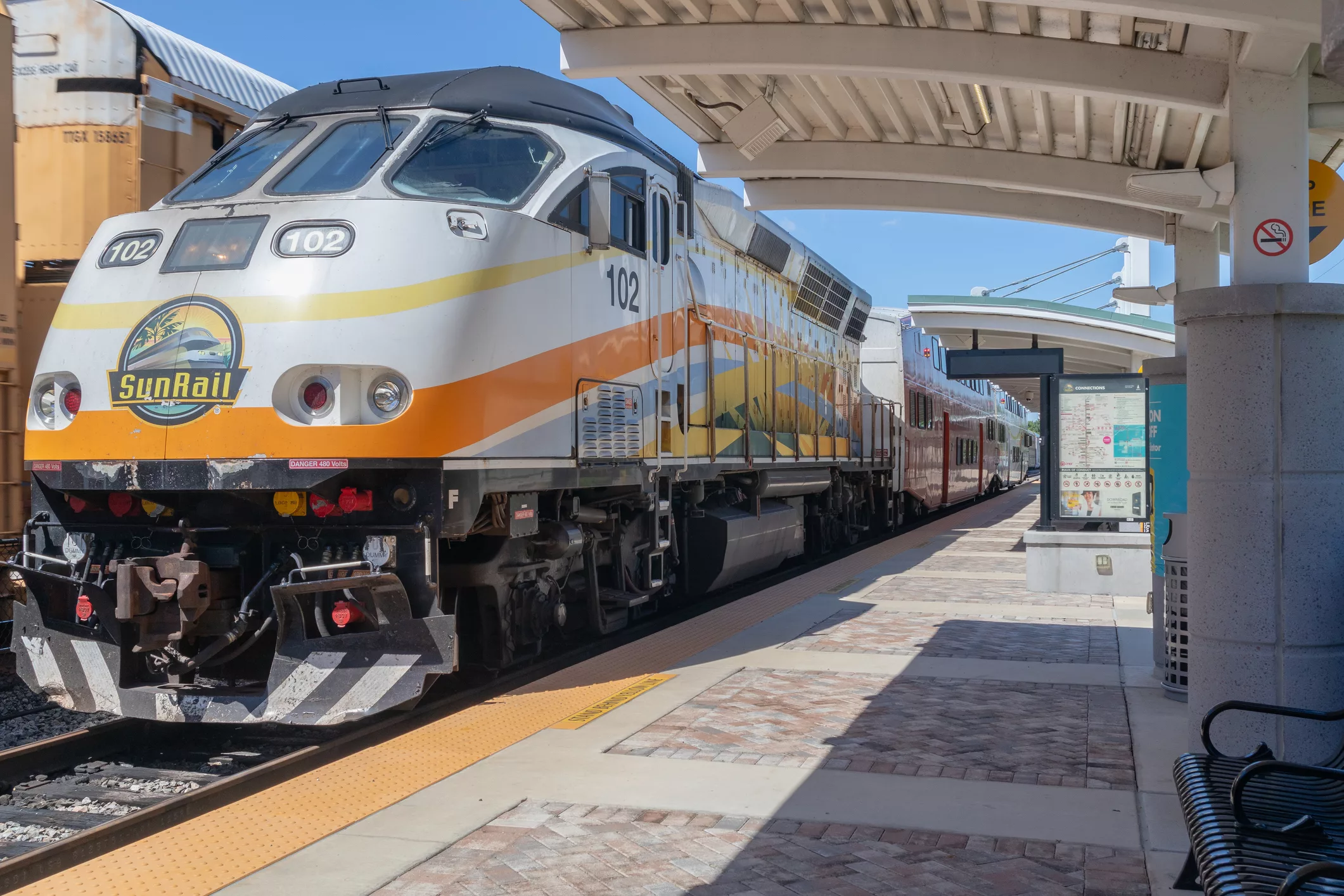
Any transit project can use STOPS, including commuter rail, heavy rail, light rail, bus rapid transit (BRT), or streetcar. In the context of BRT, the Utah Transit Authority (UTA) successfully used STOPS to position for FTA funding for the Midvalley Connector project, a proposed seven-mile-long BRT line between Murray Central Station and West Valley Central Station in the Salt Lake City, Utah, region.

For the Midvalley Connector project, UTA sought to enhance the area’s public transit network with dedicated lanes, priority signaling, and more comfortable stations and buses. To meet FTA grant application requirements, UTA needed an accurate ridership forecast. To achieve this, UTA employed STOPS, calibrating and validating the model using local data, including origin-destination surveys and employment data. By doing so, they developed comprehensive ridership forecasts for the current year, as well as 10- and 20-year horizons.
Additionally, RSG made recommendations as part of this STOPS application project to enhance UTA’s service plan, such as improving the BRT schedule to better connect with the commuter rail, thus increasing its appeal to riders. This STOPS application helped UTA position for funding and ensured the project was optimally designed to meet the region’s transit needs.
FTA Developed and Continues to Support STOPS Through Updates and Training
As the developers of STOPS, the FTA remains committed to supporting its use for grant applications to their New Starts and Small Starts programs. The FTA provides ongoing technical assistance to STOPS users and commissions updates to STOPS based on user feedback. This ongoing support ensures that the software remains relevant and effective for transit agencies across the country. Moreover, regular training programs conducted by the National Transit Institute (NTI) in conjunction with the FTA allow users to provide feedback and receive direct instruction on the tool’s use. This continuous cycle of feedback and enhancement helps maintain the accuracy and usability of STOPS, making it a trusted tool by the FTA for transit forecasting.
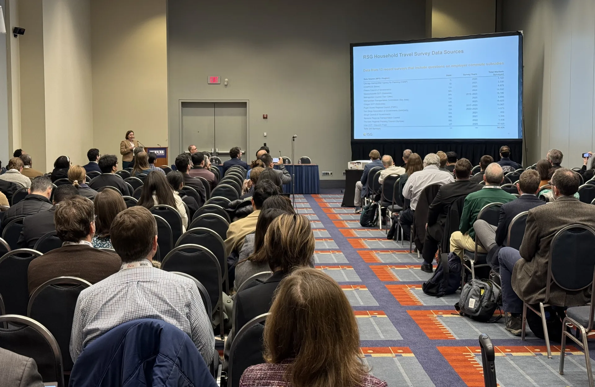
As the FTA’s primary contractor for STOPS, we continue to help guide the tool’s development. RSG worked with the FTA to develop STOPS and continues to work with clients across the United States as an FTA-approved contractor to support and apply the software to meet the evolving needs of transit agencies. For instance, RSG is currently updating the STOPS model calibration based on data collected after the pandemic. This entails collecting survey data from and looking to STOPS models at agencies that have conducted post-pandemic surveys and identifying trends and adjustments required to reflect the post-pandemic travel reality.
Beginning in the fall of 2024, NTI and the FTA are resuming the STOPS training sessions that they had conducted periodically before the pandemic. These sessions will provide practical guidance and tips on the tool’s use and function for practitioners who use, or who would like to begin using, STOPS to develop forecasts for FTA grant applications.
If you have questions about or are interested in using STOPS, please contact us or contact the FTA directly.