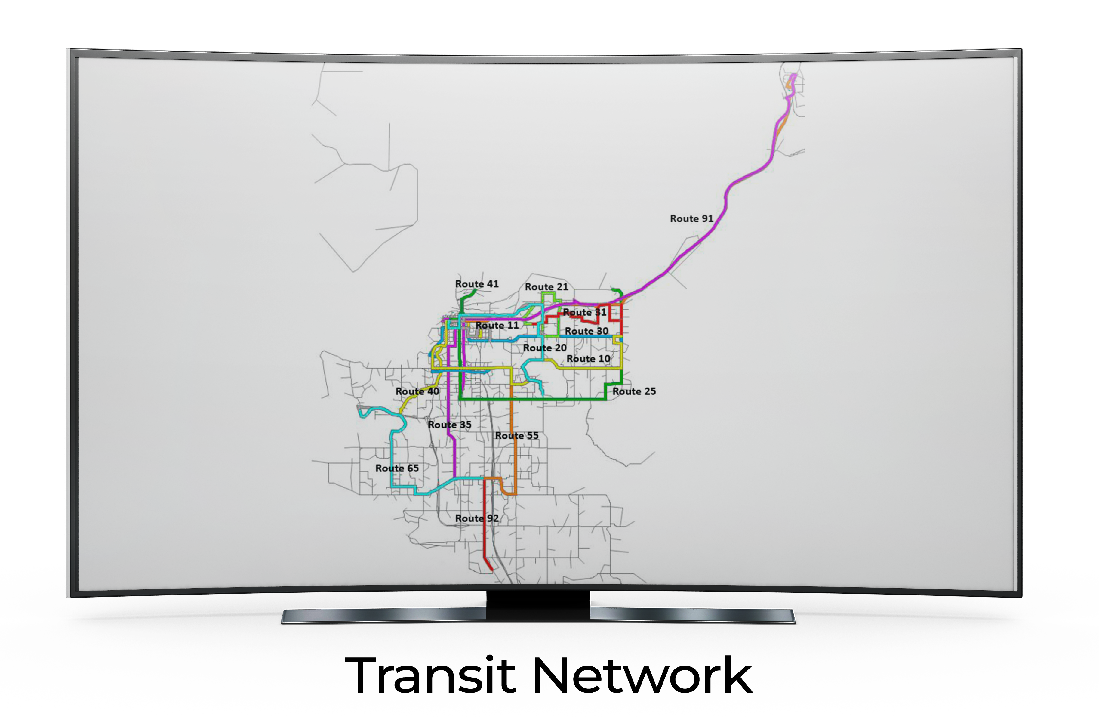
This map presents an extensive view of the Transit Network, capturing a web of interconnected routes each highlighted in distinct colors. From Route 91 weaving its way through the heart of the city to the long stretch of Route 91, the visualization offers an immediate grasp of the transportation system's layout. Key routes such as Route 11, Route 40, and Route 65 are labeled for easy identification, making this an essential tool for both daily commuters and visitors navigating the region.