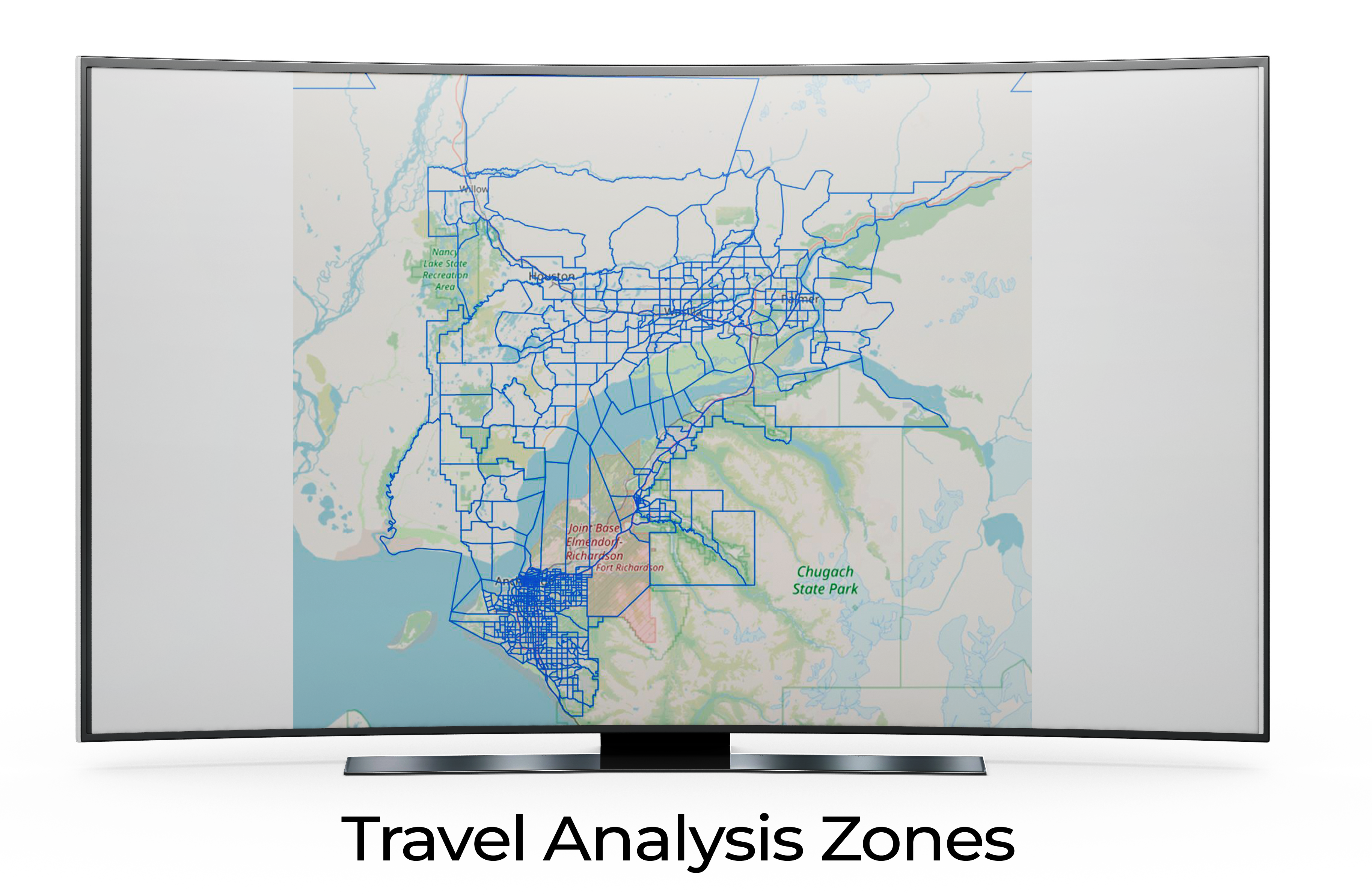
This map provides an in-depth overview of the Travel Analysis Zones, represented by intricate blue grids that interconnect various regions. Notable areas such as the “Nancy Lake State Recreation Area” and “Chugach State Park” stand out, offering users points of reference. Additionally, the detailed design of the zones and roads ensures an easy understanding of the area's layout, making it an invaluable resource for those seeking insights into transportation patterns and infrastructure planning in this region.