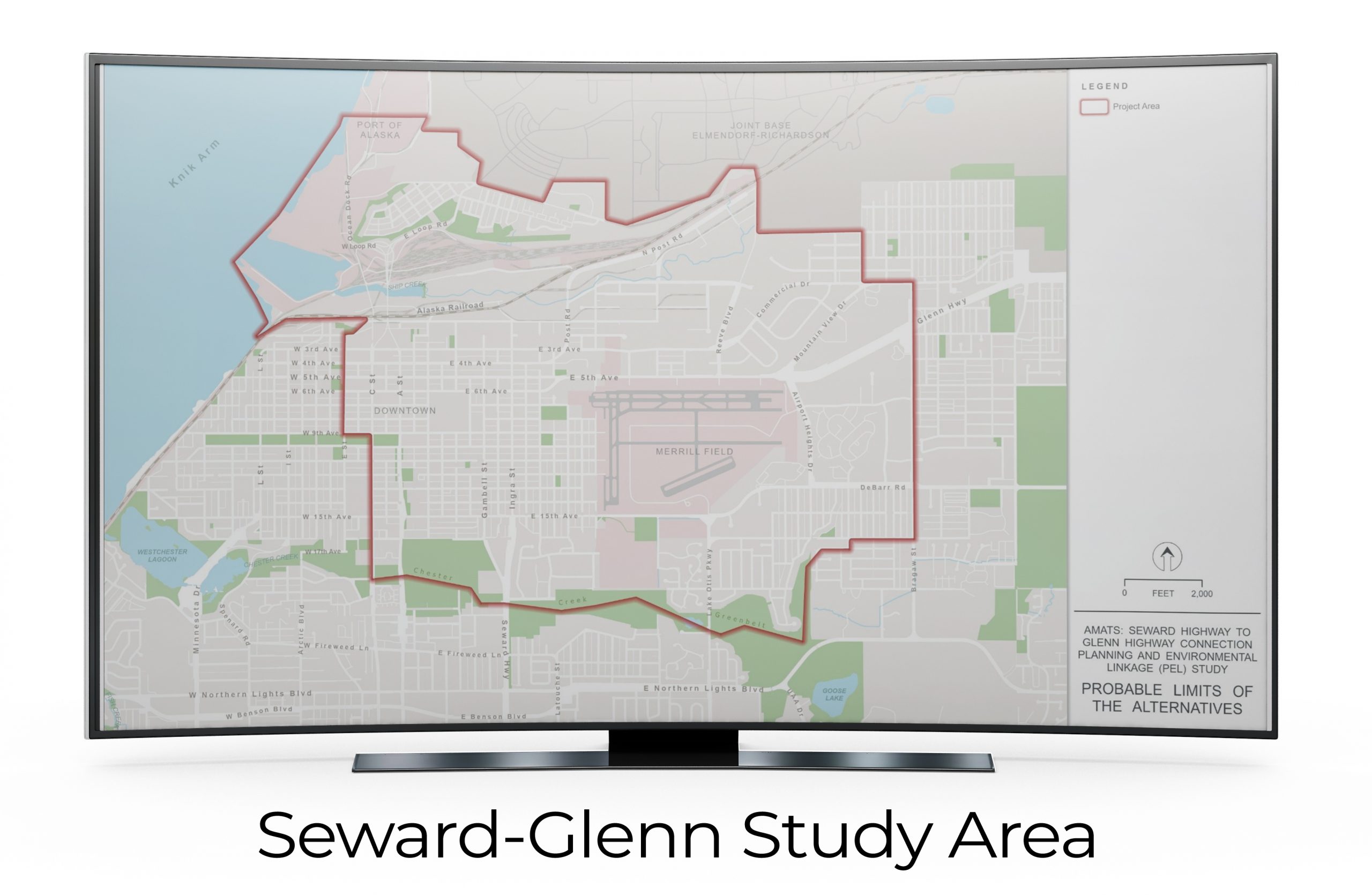
This image presents a detailed map of the Seward-Glenn Study Area. Displayed prominently on a large screen, the map illustrates the major roads, areas of interest such as “Merrill Field” and “Port of Alaska,” and the outlined project area. The legend on the right-hand side denotes the project area boundary and provides a scale for distance. The study aims to showcase the connection between Seward Highway and Glenn Highway, emphasizing on planning and environmental linkage developments. This visual is crucial for stakeholders interested in the development and connectivity of the region.