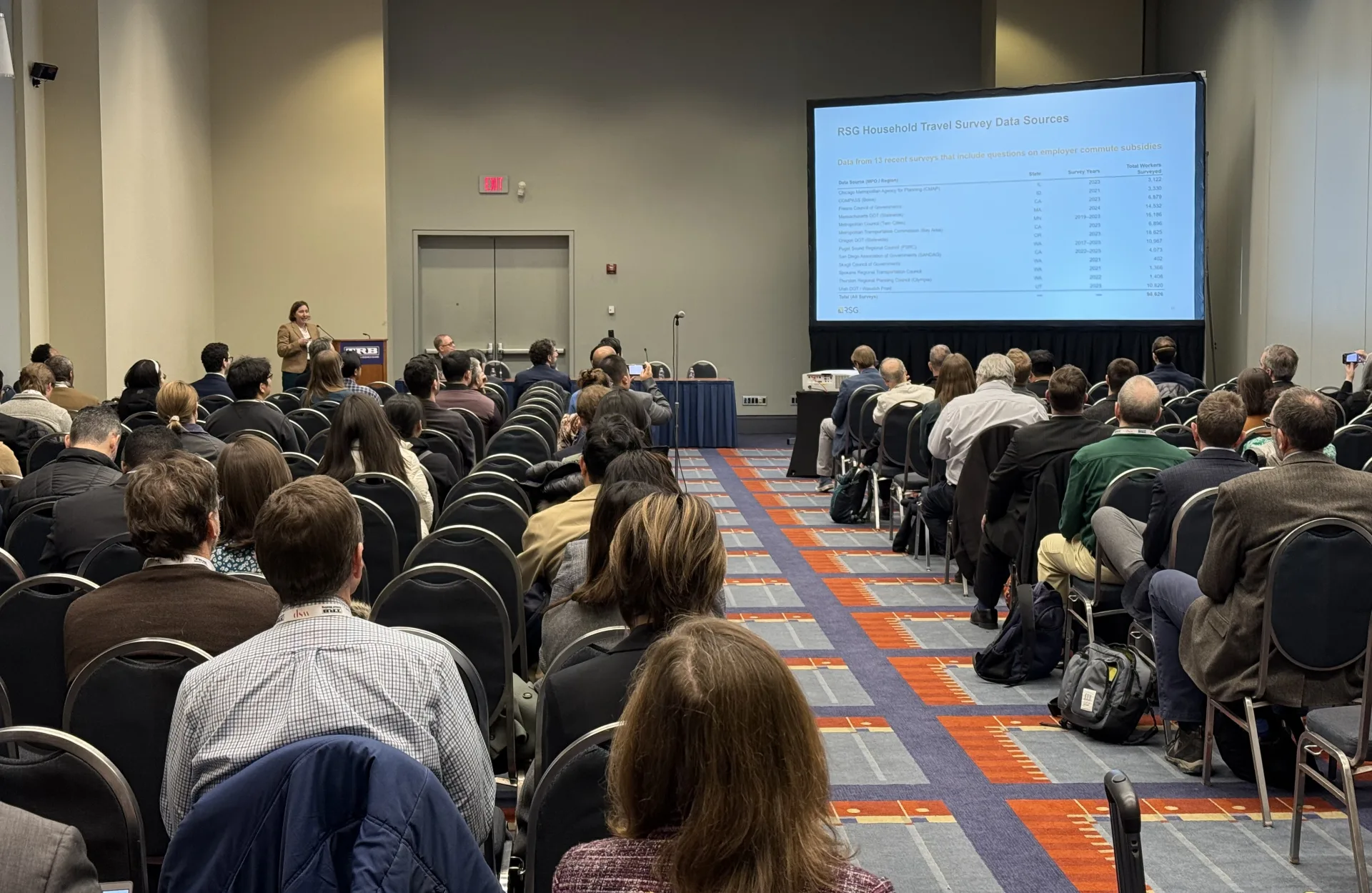
State departments of transportation and regional agencies face increasingly complex planning challenges. How are internal and external factors changing? What is the right mix of strategies to address those and make progress toward our mobility, environmental, and social goals? Traditional scenario planning tools, while useful, often fall short of capturing the full breadth of policy decisions. VisionEval, an open-source tool, offers a transformative approach to scenario planning, allowing planners to explore hundreds of potential futures with greater precision and transparency and quantify impacts to account for a wider range of policy and investment strategies to answer these questions.
VisionEval’s Key Differentiators: Moving Beyond Most Travel Demand Models
Most traditional, four-step travel models rely on empirical data to estimate current travel demand and then project those trends into the future. VisionEval, however, uses an econometric framework, providing a more nuanced understanding of how households travel to meet their daily needs. It considers factors like time, cost, and household composition—accounting for travel behavior in ways most models do not.
This approach builds on the foundational research of Reid Ewing and Robert Cervero, who identified the “four Ds“—design, diversity, density, and destination accessibility—as key drivers of travel behavior. VisionEval incorporates these elements, as well as cost perspectives and land-use interactions. This enables planners who use VisionEval to ask questions typically beyond the reach of traditional tools, such as:
- How would increased density or improved walkability affect travel patterns in a neighborhood?
- How do changes in household composition, like the presence of children or elderly family members, influence travel demand?
- How will travelers adapt to changes in road pricing or improved transit access?
Complementing, Not Replacing, Activity-Based Models
Agencies who have already invested in an activity-based model may ask, “If we already have an activity-based model, should we still consider VisionEval?” The answer is yes. VisionEval is not a replacement but a complementary tool that enhances the planning process. While activity-based models offer detailed insights, they can be resource-intensive, requiring extensive data, computational power, and time to run.
VisionEval, in contrast, is a flexible, quick-response tool that can use the same synthetic population as ActivitySim, ensuring statistically valid comparisons. For instance, the Atlanta Regional Commission uses VisionEval as a “top-of-funnel” tool to explore a wide range of scenarios before conducting more detailed analyses with their activity-based model. This approach allows ARC to identify key drivers of change efficiently, running hundreds—or even thousands—of potential scenarios.
Addressing Equity and Sustainability with VisionEval
VisionEval is uniquely suited to handle the many complex policy issues facing today’s planners:
- Informing Inputs: VisionEval incorporates diverse perspectives by allowing socioeconomic and demographic characteristics—such as disability status, limited English proficiency, race, and ethnicity—to be embedded in the population synthesis. Although VisionEval does not directly alter travel behavior based on these characteristics, it enables planners to segment results and understand how different households experience travel outcomes. This insight helps guide investments that align with the needs and interests of varied populations, whether in active travel, transit, or auto-focused options.
- Analyzing Outcomes: VisionEval is particularly adept at addressing household-based and total vehicle miles traveled (VMT), allowing for testing pathways to achieve per capita VMT reductions. The vehicle choice model accounts for an array of powertrains, fuels, and total energy to produce estimates of greenhouse gas emissions. These two key output measures complement the wide range of other outputs and policies considered within VisionEval. It enriches planners’ conversations with stakeholders by introducing data-driven insights into discussions about congestion pricing, transit frequency, parking costs and supply, auto ownership and operating costs, and other policy decisions, helping connect inputs with their interrelated effects.
Goal-Seeking in Action
While many states and MPOs use VisionEval to quantify the impacts of different scenarios on shared goals, the reverse is also true—VisionEval allows users to “goal seek” (i.e., start with goals and build a portfolio of strategies to meet them). VisionEval’s goal-seeking capability has been used effectively by clients like the Chittenden County Regional Planning Commission, the Oregon Department of Transportation (ODOT), Portland Metro, and Anchorage Metropolitan Area Transportation Solutions.
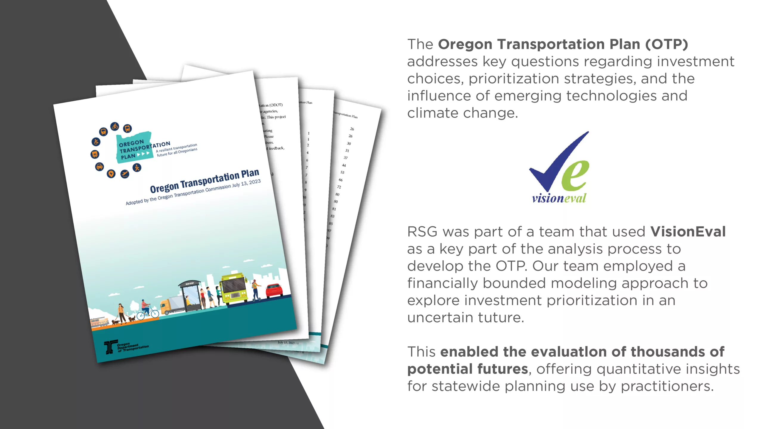
Starting with community engagement to identify goals, VisionEval then runs through all permutations of inputs, generating a rich domain of results that includes hundreds of futures. This empowers planners who use VisionEval to explore how different conditions impact community outcomes and aligns scenarios with specific goals, such as reducing VMT per capita.
In this way, VisionEval enables “reverse-engineering” of policies. If a particular scenario yields the most desirable outcome, planners can trace it back to specific inputs—such as bus frequency, land-use density, or parking pricing—creating a clear roadmap for future actions through the scenario planning process.
Considering VisionEval: First Steps and Best Practices
For agencies interested in adopting VisionEval, the first step is assessing their current modeling practices. For small and medium-sized MPOs, VisionEval can serve as a more accessible complement or even a replacement to existing travel demand models, especially for long-range planning. Its integration with GIS and other visualization tools makes community involvement easier and enhances the planning process. For agencies using trip-based models for congestion management, engineering planning, or project prioritization, VisionEval offers a way to explore policy options beyond the scope of their current tools.
While user guides for VisionEval are readily available, we’ve found that getting it up and running without support can be daunting for some agencies, especially for those who lack specialized technical knowledge. RSG recognizes this need and supports agencies through the setup process, ensuring VisionEval is not only installed correctly but also tailored to meet their specific needs. These support activities include updating core model functionality and model equations, customizing them based on local household survey data, and supporting goal-seeking exercises.
Join the Community of VisionEval Users
VisionEval represents a powerful quantitative approach to scenario planning. Moreover, this tool is operated by the Collaborative Development of New Strategic Planning Models Pooled Fund, which is hosted by the Federal Highway Administration. This ensures the tool’s continued development and support and maintains the freely and available open-source code repository.
However, the question remains: How can agencies use VisionEval effectively? As expert users and appliers of VisionEval, RSG is committed to offering our clients strategic transportation planning insights and guidance for integrating this tool into their planning processes.
Our upcoming webinar will focus on VisionEval and bring together RSG’s experts and a community of VisionEval users, including state department of transportation users in Oregon and Virginia, who will discuss the tool’s unique attributes and practical applications to the scenario planning process. Attendees of our webinar will gain a deeper understanding of how to leverage VisionEval to address complex planning questions.
Whether you’re a planner, a modeler, or someone in between, this webinar will be an invaluable resource. Register now to reserve your spot and take the first step toward helping your agency adopt a more dynamic, data-driven approach to scenario planning.
····························
Jonathan Slason is a Managing Consultant at RSG. He is a skilled planner who has devoted himself to helping RSG’s clients identify and understand the practical planning applications of tools to help quantify change and measure outcomes. Jonathan is a nationally recognized expert in helping clients apply VisionEval, an open-source strategic travel modeling tool designed to measure outcomes beyond the reach of traditional tools. His presentations on the planning applications of VisionEval have garnered industry accolades and awards.
Have questions about a potential VisionEval implementation or use case? Contact us to request a consultation.